As the days add up after the March 26 collapse of the Francis Scott Key Bridge, companies that gather data from trucks and supply chains are beginning to get an idea of where trucks are rerouting in the catastrophe’s wake. Data on ship rerouting is less conclusive.
While some of that data is clear, a lot remains murky as shippers and carriers figure out how to loosen the logistical choke points the collapse created.
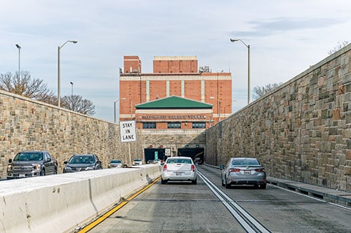
One of the clearest data series in the market, because it is fed by decisions that need to be made that very day, is what routes trucks making their way through the Baltimore area are using instead of the Key Bridge, which crosses the eastern mouth of the Baltimore Inner Harbor where it meets Chesapeake Bay.
Rishi Mehra, vice president of the Maps division of telematics company Trimble (NASDAQ: TRMB), has reviewed customer data on where trucks are rerouting away from the Key Bridge, which was on the eastern side of the Interstate 695 loop around Baltimore. So far, trucks are doing pretty much what everybody expected.


